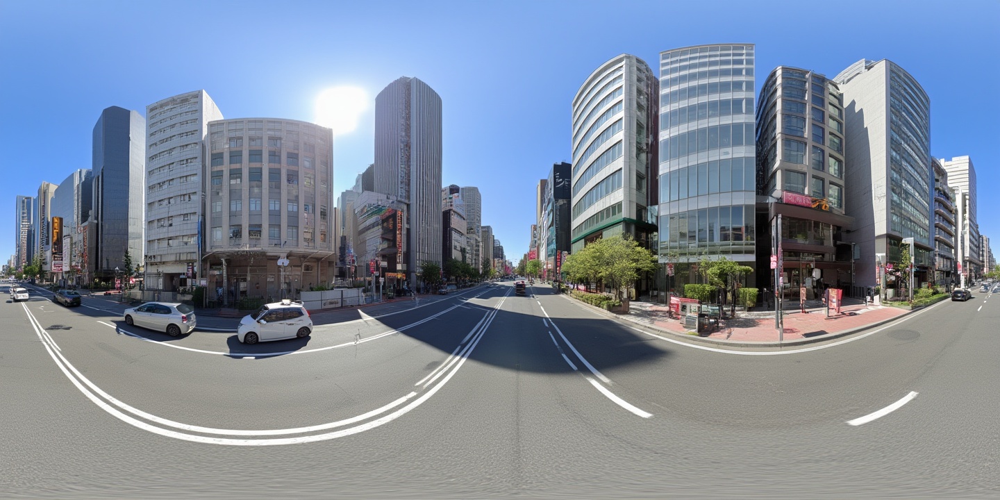
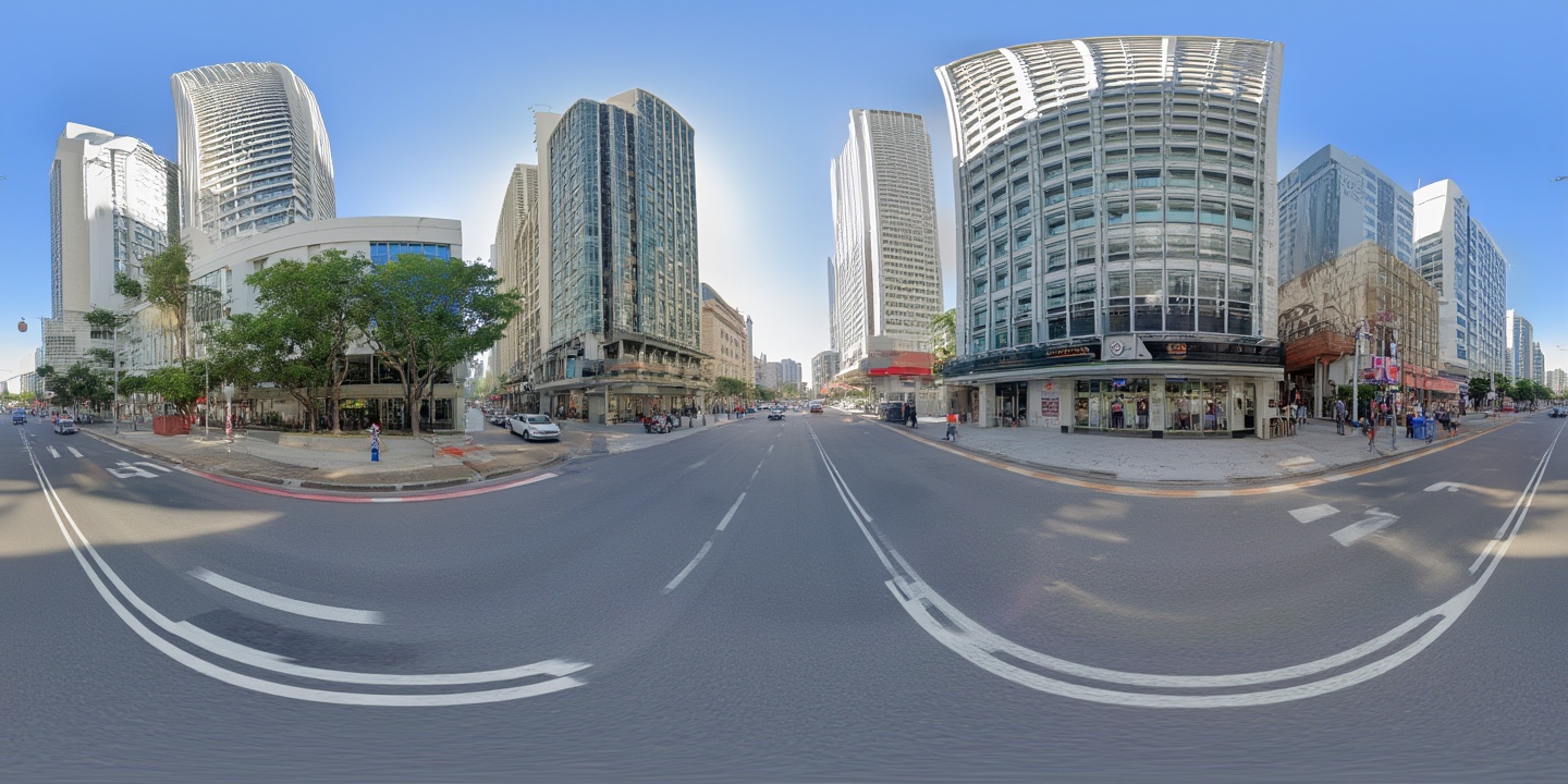
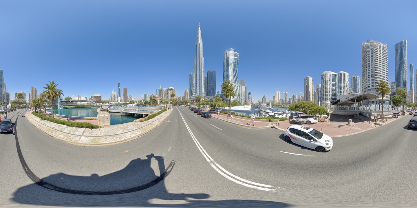
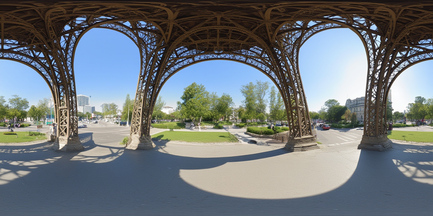
Orisynth transforms satellite imagery into immersive street-level panoramas using generative AI, imagining the ground-level experience of any place on Earth — from space.
Bridging the gap between orbital and street-level perspectives
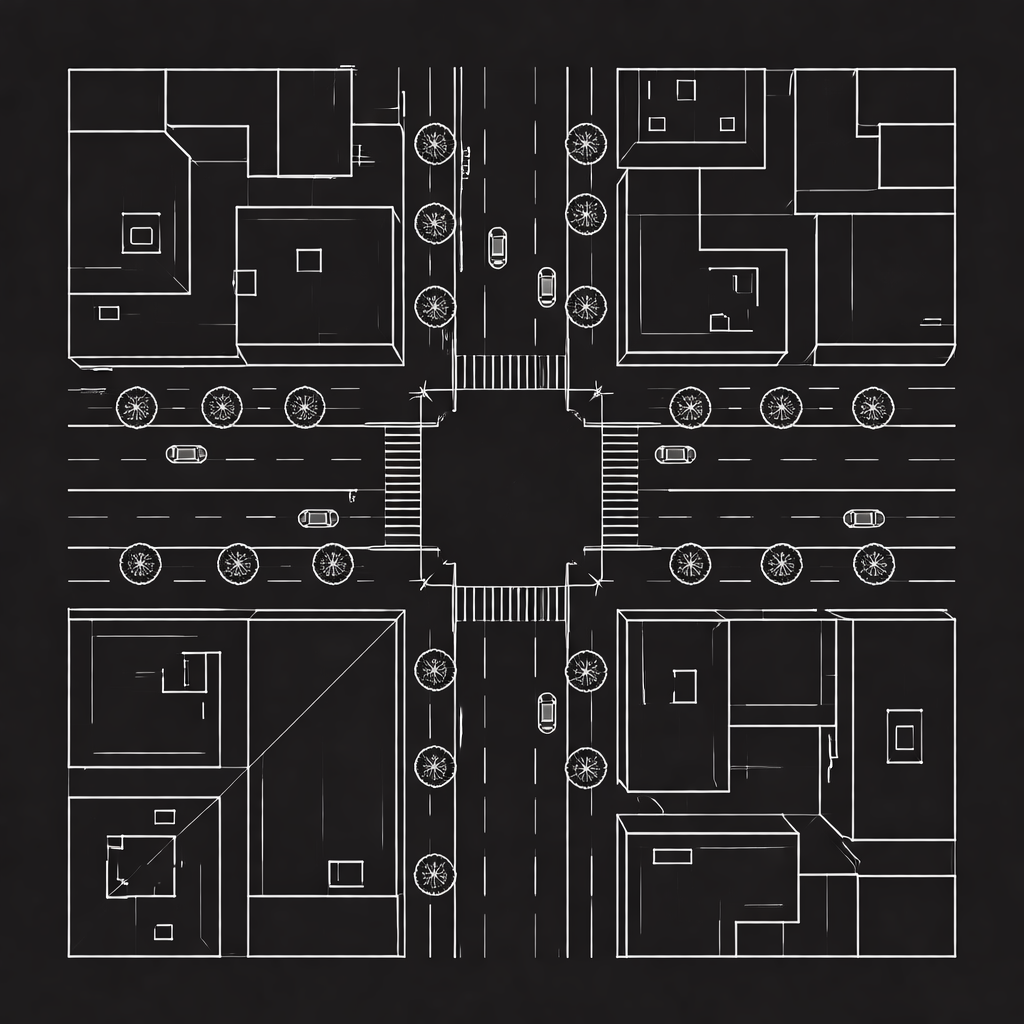
High-resolution satellite imagery centered on target coordinates
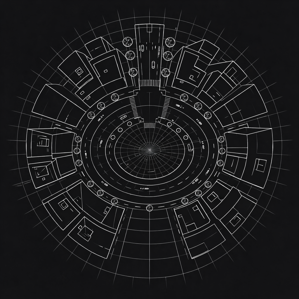
Geometric transformation encodes directional context
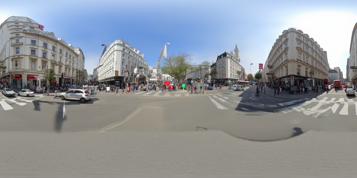
Photorealistic 360° panorama ready for immersive viewing
Orisynth uses computer vision and generative AI to imagine what a location looks like at ground level, using only satellite imagery as input. By learning the relationship between satellite patterns and street-level appearances across thousands of locations worldwide, our model can synthesize realistic 360° panoramas for any coordinate on Earth.
A multi-stage pipeline from coordinates to panoramas
Select any coordinate on Earth. The system fetches high-resolution satellite imagery covering the surrounding area.
The satellite view is transformed into a representation that encodes spatial relationships from the camera's perspective.
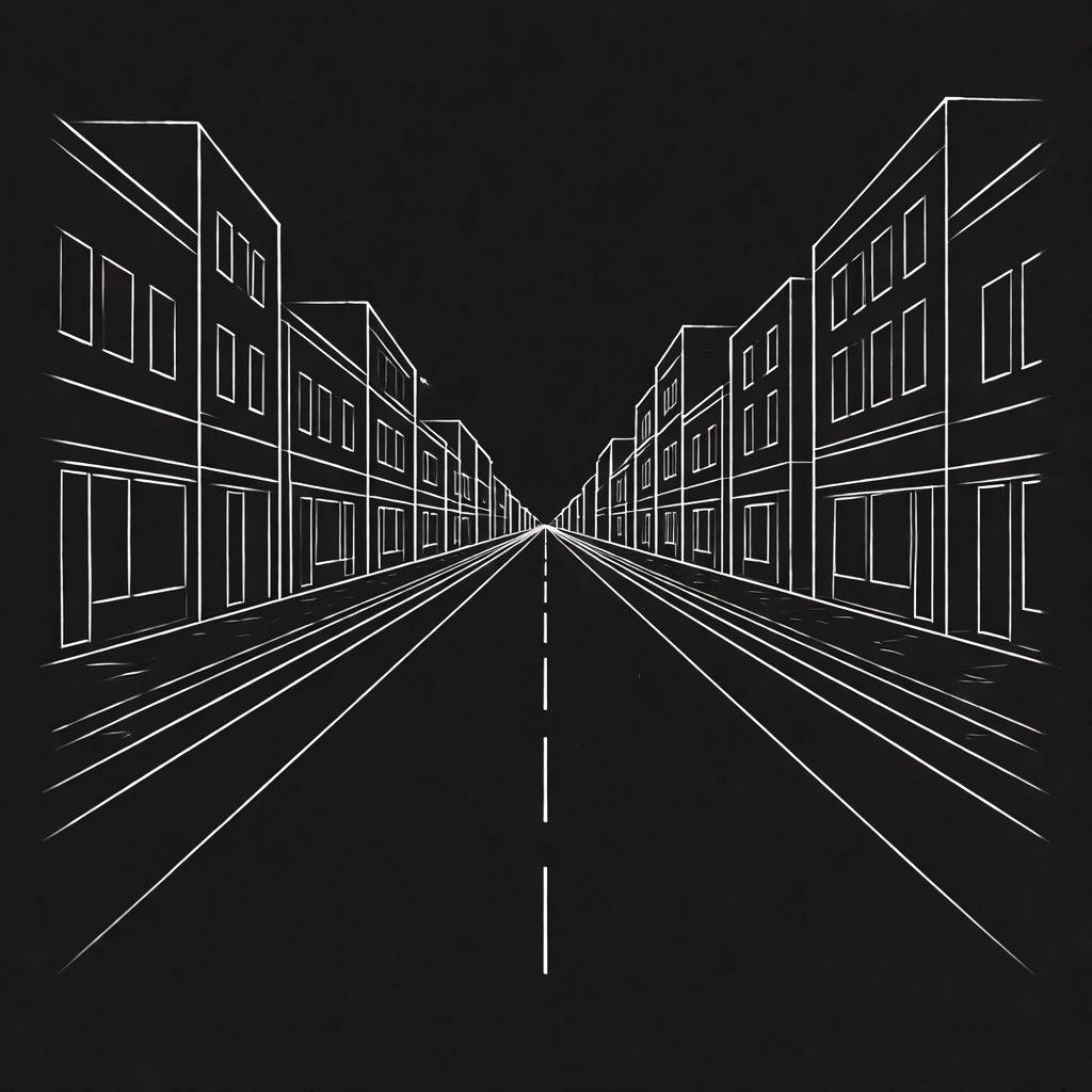
AI analyzes the imagery to understand urban context, identifying roads, buildings, vegetation, and architectural style.
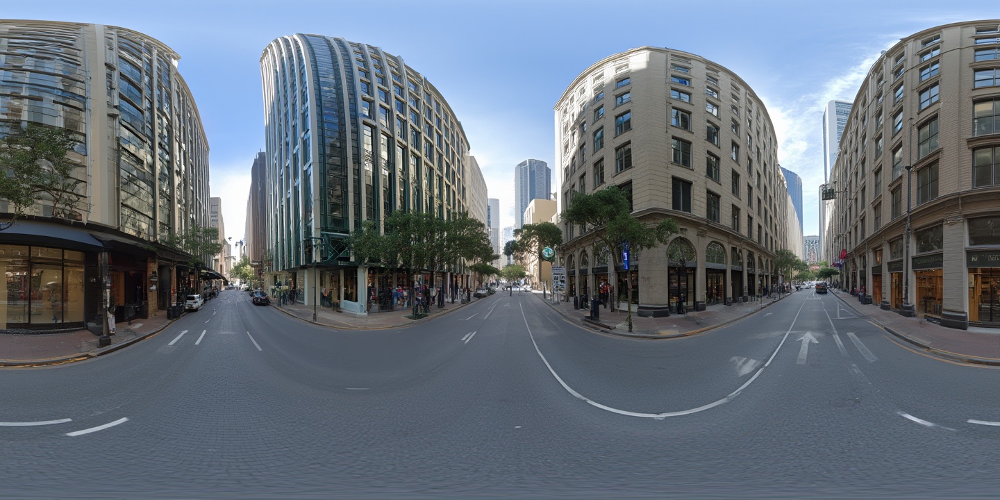
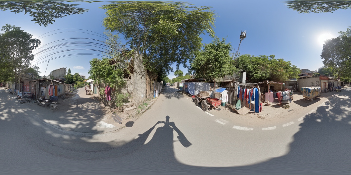
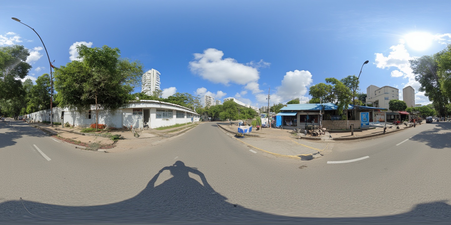
A generative model synthesizes a photorealistic 360° equirectangular panorama ready for immersive viewing.
Generated street views from around the globe
What Orisynth can do
Generate street-level views for any location on Earth where satellite imagery is available.
Synthesize detailed, realistic imagery that captures architectural styles, vegetation, and urban character.
Full equirectangular panoramas ready for VR headsets, web viewers, or any immersive display platform.
A detailed technical report covering methodology, training pipeline, and evaluation. Connect to be notified when it's published.